After the first month of collecting and filtering data from the site visit, the studio is moving forward to focus on analyzing maps, historical timelines, and existing information. This will help us get a better understanding of the origins of what makes the city of Newark as we see it present-day.
The studio produced a quick time lapse of the site visit that will further be developed into categories that consist of materials, pedestrian activity, cultural factors, etc...
The studio is researching the history of Newark and pin-pointing historical movements that will give a better understanding of how Newark came to be. To further filter the amount of information, a group of students will be categorizing the historic events into education, demographics, innovation and infrastructure, and determine any other categories they think fits best.
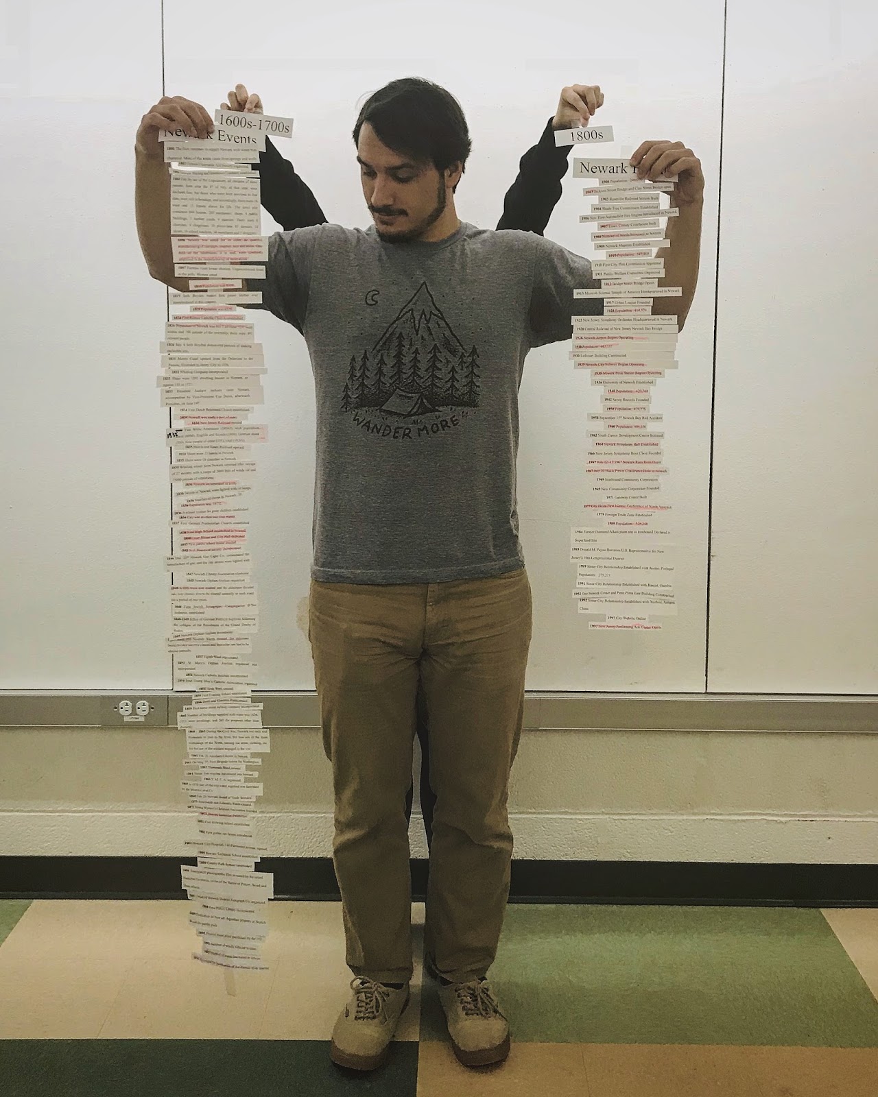 |
| Holding History in our Hands |


Figure 1: Mood Map
Figure 2: Landmark and Identity Map
Figure 3: Transportation Access Map
Figure 4: Size Recognition Map
 Looking forward, the first community workshop will be held on February 20th with the Rutgers Water Resources Cooperative Extension Program. This workshop will consist on working with the Newark team from WRP and develop charrettes to begin design concepts and prepare for future community outreach meetings with Newark citizens.
Stay tuned!
Comments
Post a Comment